Earth Vision Institute (EVI) was founded by photographer, author, scientist, and climate activist James Balog in 2012. EVI is a donor-funded organization that fights for awareness of climate change and produces groundbreaking insights about the relationship between humanity and nature. Through unique visual storytelling and concepts, EVI bridges the divide between art and science.
We collaborate with worldwide experts and distribute our work via a network of educational, media, non-profit, government, and corporate partnerships.
One of EVI’s flagship projects, the Extreme Ice Survey, is a research affiliate of the Institute of Arctic and Alpine Research at the University of Colorado, Boulder.
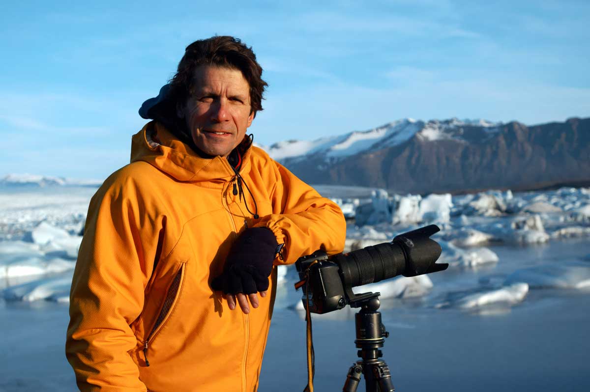
Since the early 1980s, environmental photographer James Balog (“BAY-log”) has broken new artistic and conceptual ground to probe the changing relationship between humanity and the natural environment. By the year 2000, humanity’s impact on planet Earth was having such a profound effect that many scientists began referring to our current period of time as the Anthropocene, or “Age of Humans.”
His lifework touches on many interconnected factors of the Anthropocene: climate change, melting glaciers, endangered wildlife, old-growth trees, deforestation, wildfires, air quality, storms, floods, ocean warming, and sea level rise. It also investigates “natural tectonics”—powerful forces like volcanoes, earthquakes, hurricanes, and tsunamis—that shape the terms of life on our planet.
Balog’s work provides the most in-depth exploration of Anthropocene impact produced by any American image-maker during the late 20th century and early 21st century.
The portfolio presented here is the product of well over a million miles of travel in North and South America, Europe, Asia, Africa, the Arctic, and Antarctica.
James’ images pivot between the documentary and the symbolic. They represent an integration of art—subjective and creative reactions to lived experience—and the observable facts of science. Above all, they are the personal expression of an artist’s meditation on his fast-changing place and times.
“No boundary separates people from nature,” James writes in The Human Element: A Time Capsule from the Anthropocene (2021), summarizing the underlying philosophy of his work. “In damaging nature we are damaging ourselves. In protecting nature we are protecting ourselves…. We the people have an inalienable right not just to life, liberty, and the pursuit of happiness, but to clean air, clean water, and the security of a stable atmosphere.”